Isabelle Perol / James Cook
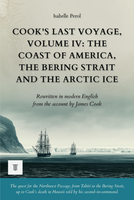
March 1778. After a month at Nootka Sound, among the traders of sea otter skins, the Resolution and the Discovery sail up a coast that no European chart yet shows. James Cook is searching for the Northwest Passage, that dreamed-of channel meant to link the two oceans, and he searches for it with the stubbornness of a man on his third voyage around the world.Every bay becomes a promise, every estuary a disappointment. The great river that will bear his name leads only to sandbanks. Prince William Sound hides thieves. In the Aleutians, paddlers hand over notes written in Russian: other Europeans are already there, hidden in the fog for half a century. Then the ships cross the Bering Strait and run, at Icy Cape, into a wall of pack ice as high as a cliff, where thousands of walruses wallow and roar.The Arctic refuses the passage. The surgeon Anderson dies within sight of the island that will bear his name. Defeated by the ice, Cook turns back south toward the Sandwich Islands to spend the winter there, discovers Hawaii and its snow-capped peaks, and at last anchors in a bay where a thousand canoes surround his ships. It is there, on that page, that the journal kept in his own hand stops forever.This fourth volume corresponds to Book IV of the original edition, A Voyage to the Pacific Ocean (London, 1784): from the arrival at Nootka Sound at the end of March 1778 to the anchorage in Kealakekua Bay on 17 January 1779. It is the last text written in James Cook’s own hand; after this page, the account of the voyage is taken up by Captain James King in the volumes that follow. Along the way, the fanciful map drawn by the geographer Stæhlin, which promised an easy passage from Asia, is tested against direct observation and found false.Fourth of the six volumes devoted to James Cook’s third and last voyage, in the Forgotten Travel Journals collection. Each volume can be read on its own.The first complete modern rewriting for today’s reader, making this account accessible without betraying anything of the voyage. Twenty-one original illustrations and redrawn maps bring the route to life, while a set of reference materials (glossary, timeline, index, editor’s note, afterword, and further reading) and selected passages from the original text illuminate the reading.